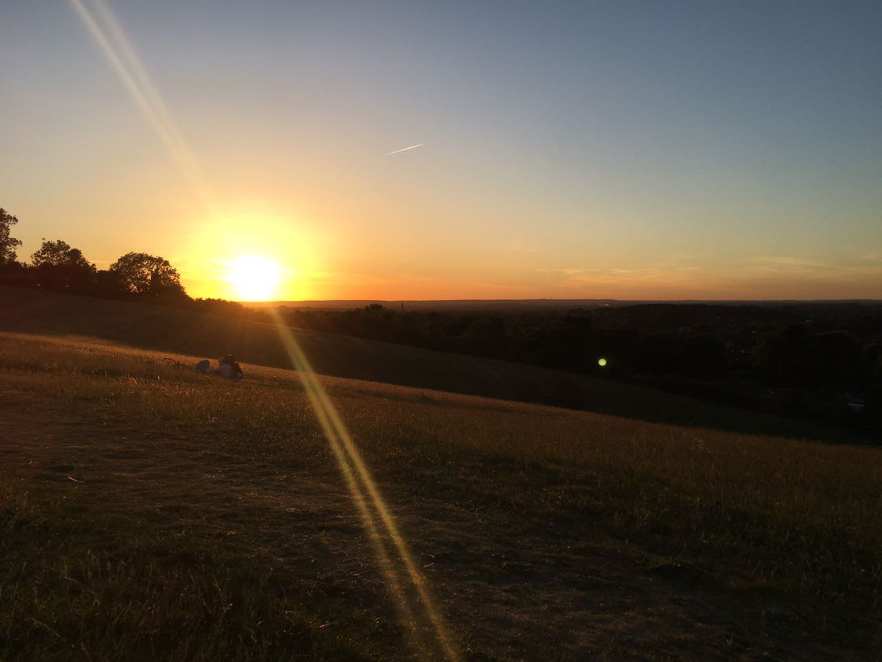
萨里郡地处英格兰南部,地形起起伏伏,吉尔福德城镇的南部便横贯着萨里山,萨里山地区植被繁茂,如今已被开发成为重要自然保护区与休憩观光带。我一直觉得,一座城镇的第一感官必须要有层次感,它可以是摩天大楼的鳞次栉比,也可以是湖泊、山丘、建筑、林冠交相衬映的叠加与层次感。显然,吉尔福德就属于后者,如果你要问我,站在哪里可以享受到最好的观光角度,去俯瞰整座城镇的来往众生、车水马龙,感受它的脉搏?很显然,我的答案便是North Downs Way.
很多人一开始都会非常困惑,为何萨里郡周边的地区很多都以Downs来命名,包括我。其实,在英国语境中,Downs专门指代英格兰南部诸如萨里郡、肯特郡、威塞克斯郡等地区的一连串低矮起伏的丘陵地带。在距离我们很近的南部,就有一片叫做South Downs的国家公园(英国十大国家公园之一)。吉尔福德的相对地理位置在北面,所以,这里的丘陵就被叫做North downs。
The Mount公园
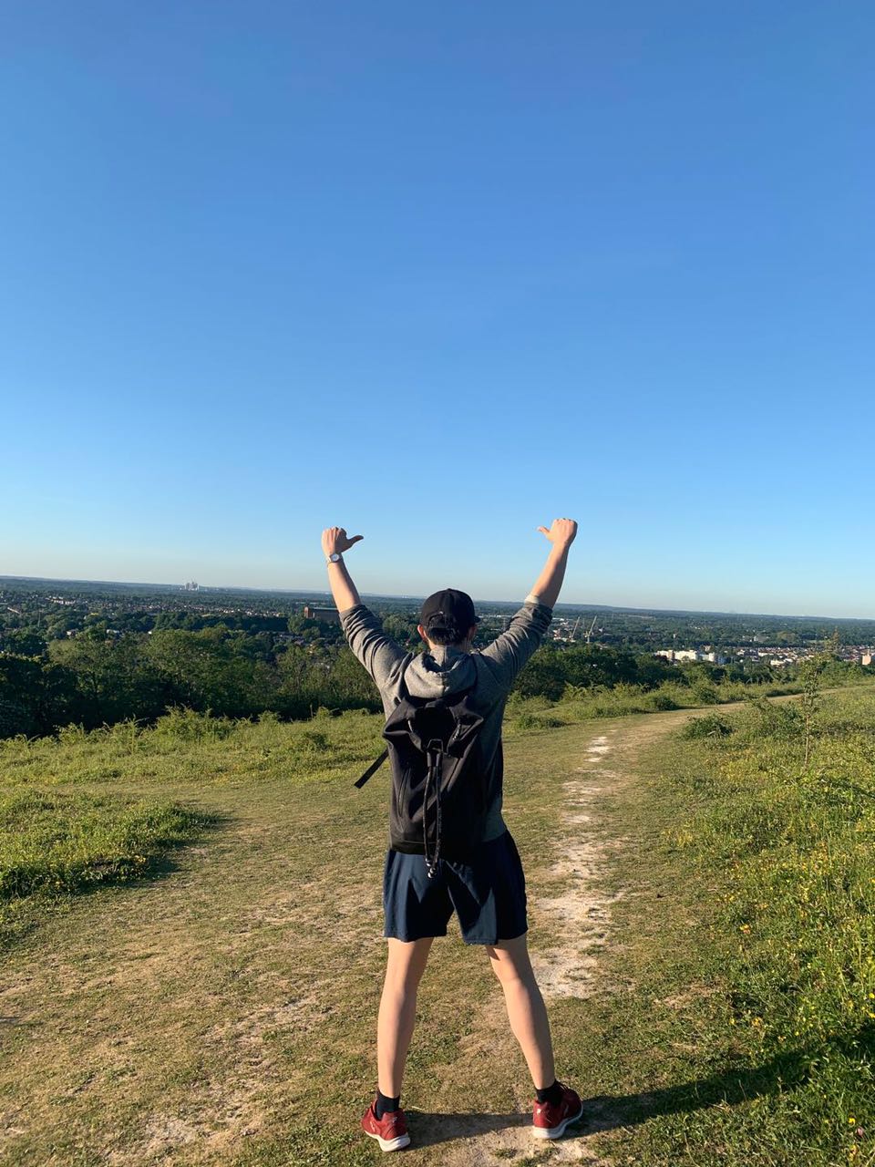
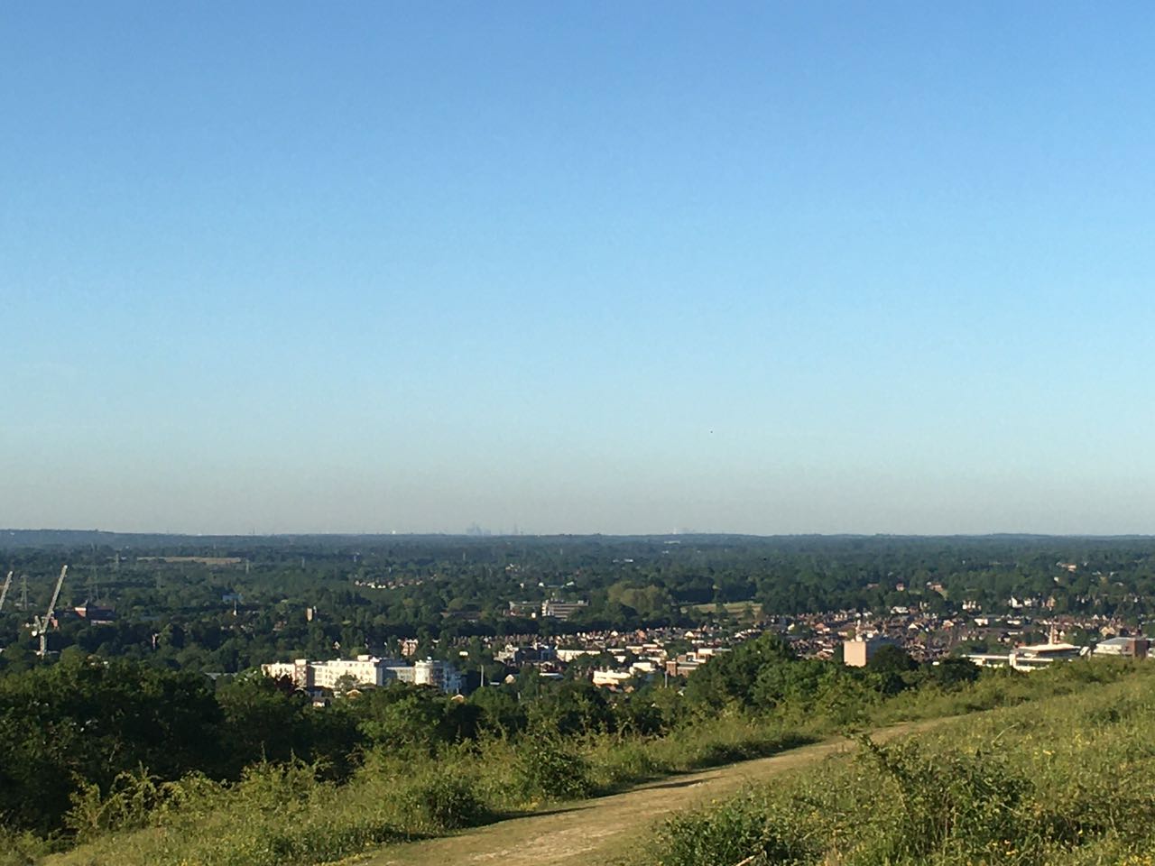
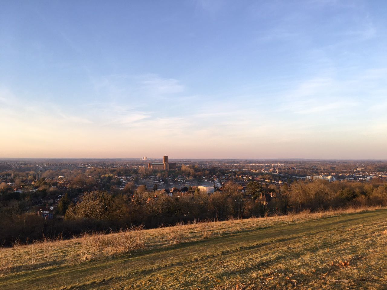
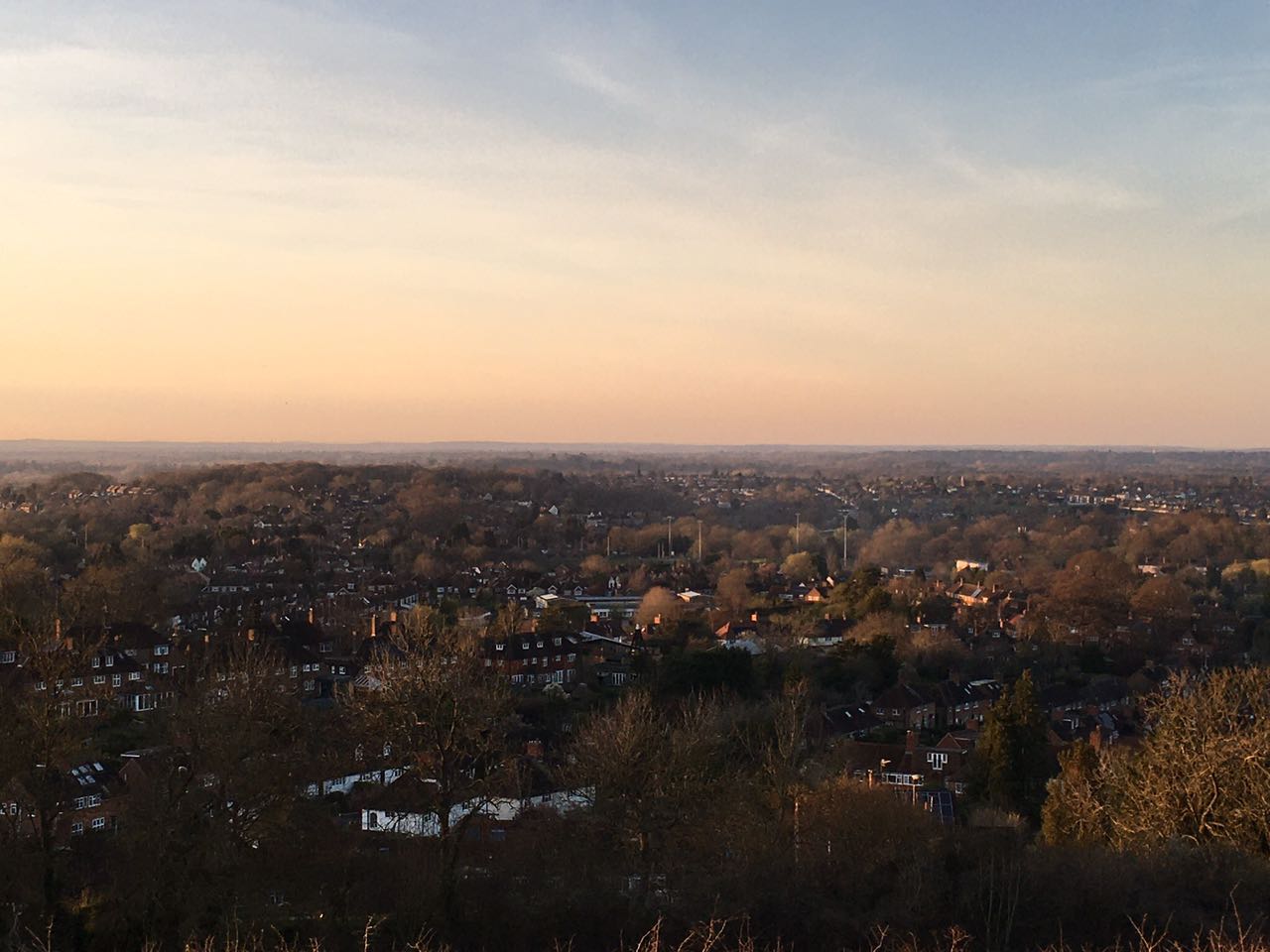
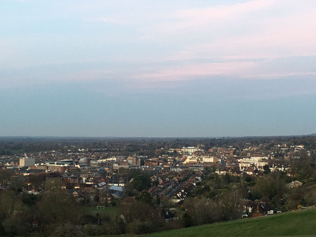
我敢肯定,你来到萨里大学一段时间后,一定会被当地人推荐去The Mount Park,或者你自己可能在远处不经意的一瞥就会发现它。The Mount基本可以说是本地区的最高点,俯瞰着Guildford。从Stag Hill主校区步行,只需20分钟即可到达山丘。由于我的宿舍区在座堂山附近,因此我可以经常去那里徒步游玩。基本上,有两条路可以快速到达那里。第一条,翻过座堂山沿着斜坡一直向上走。当你沿着这条路行不断向上走时,您会感觉到吉尔福德的市镇景观在眼前慢慢展现。第二条路,你可以选择通过Farnham Road 直接到达Wodeland Road山旁。
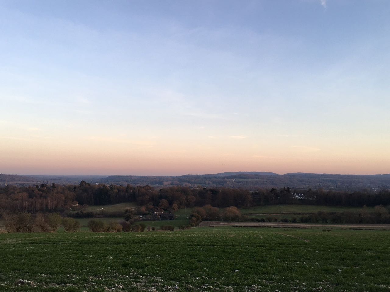
到达山顶时,你可以纵览整个城镇以及远处的优美连绵的景色。如果你的视力足够好,并且天气条件允许,甚至有可能看到伦敦最高的的碎片大厦和具有象征意义的伦敦圣玛丽·阿克斯(St. Mary Axe)金融大厦从地平线上出现!毫无疑问,Mount公园是坐在户外最舒适的地方之一,它距离城市环境仅几步之遥。住在这里时,你会感觉像是身处小镇上的一片宁静绿洲,从这里可以欣赏到吉尔福德(Guildford)及周边地区诸如沃金Woking、沙尔福德Shalford的景色。
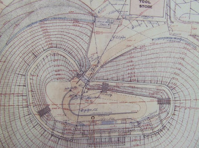
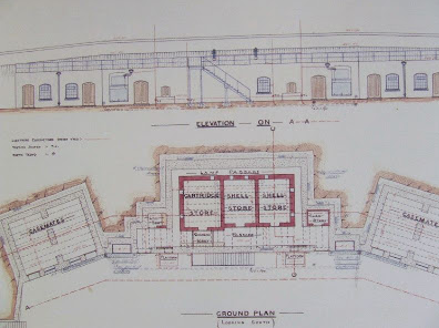
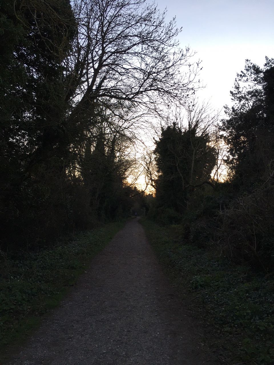
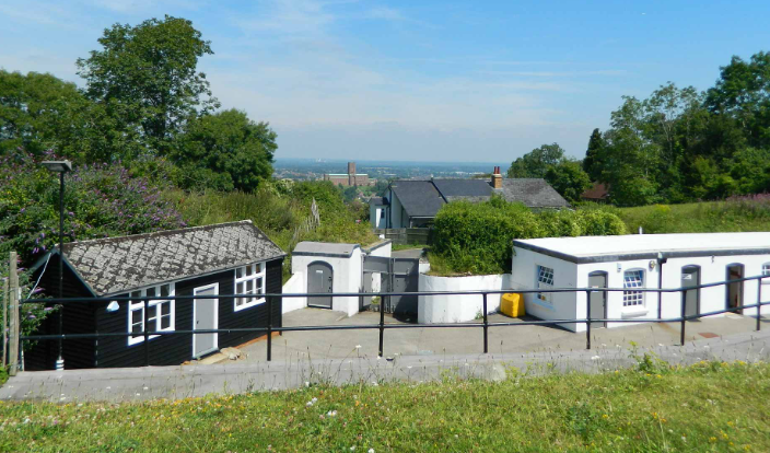
如此外,这里还有一些历史遗迹,细心观察的话你也许可以发现。从The Mount 公园山脚下,沿着人行道向上走,在山脚的窄门处向右转,然后在左边的树篱旁上山。到达山顶后,向右转,接着穿过一片草地到达最左边。在这,如果仔细寻找你会发现一块纪念碑,立碑是为了纪念萨里郡郡治曾极为短暂的被多达15,000名前往伦敦的康沃尔Cornwall叛乱分子占领的时期。 历史上,当时,1497年6月,后来针对这些叛军,在吉尔福德(Guildford)外面的Guil Down发生了一场小规模的战斗。在石碑处右转下山,通过林间缝隙进入树林,你也许会发现被称为。沿着小径继续直行至林地的另一侧,再回到另一处草地,经过Henley Grove Fort。它始建于1880年代,是保护伦敦和增强南海岸防御入侵计划的一部分。

http://www.subterraneanhistory.co.uk/2009/10/henley-grove-fort-surrey.html
The Mount Park
I’m pretty sure that you definitely will hear about the Mount from locals, or at least spotted it from afar, the highest hill that overlooks Guildford. Walk from the Stag Hill main campus, it would take only 20 minutes to walk to the hill. Because I’m living nearby Cathedral Hill that quite close to it, so I would able be to frequently make short trips to there. Basically, there are two ways which you can take to get there. First route, straight up the hillside. As you walk along this path, you’ll feel like the town view of Guildford is slowly unfolding in front of your eyes. The second one that you can choose to get there via Farnham Road allotments, which situated at the bottom of the centre of the hill off Wodeland Road.
When you arrive at the top of the Mount you will be awarded a very breathtaking view of the whole town and vastly beyond. If you have a good eyesight and weather allowed, you probably will see the Tower of Shard and St. Mary Axe’s building in London appear from the horizon! Without any doubt, The Mount Park is one of the most cozy places to sitting down outside, which located just a few moments away from the urban setting. When staying here you’ll feel it pretty like an oasis of tranquility within the town and you can enjoy an amazing view of Guildford landscapes from here.
Just follow the footpath and take the first set of steps, turning right through the gate at the bottom of the hill, then follow the path adjacent to the hedgerow on the left and up the hill. On the top of the hill, turn right and follow one of the paths that cross the grassland area towards the far left corner.
Here you will be able to see a commemorative stone that marks the short period that the county was overrun by as many as 15,000 Cornish rebels heading down for London. There was a small battle just outside Guildford at Gil Down in June 1497. Turn right at the stone and head back down the hill until you reach a gap in the wooden fence, on your left.
Pass through the gap into the woods, known as Henley Grove. Continue straight along the path to the other side of the woodland and back out into another grassland area, past Henley Grove Fort heritage will be presented in front of you. This was built in the 1880’s as part of a plan to protect London and increase the South coast’s defense against invasion.
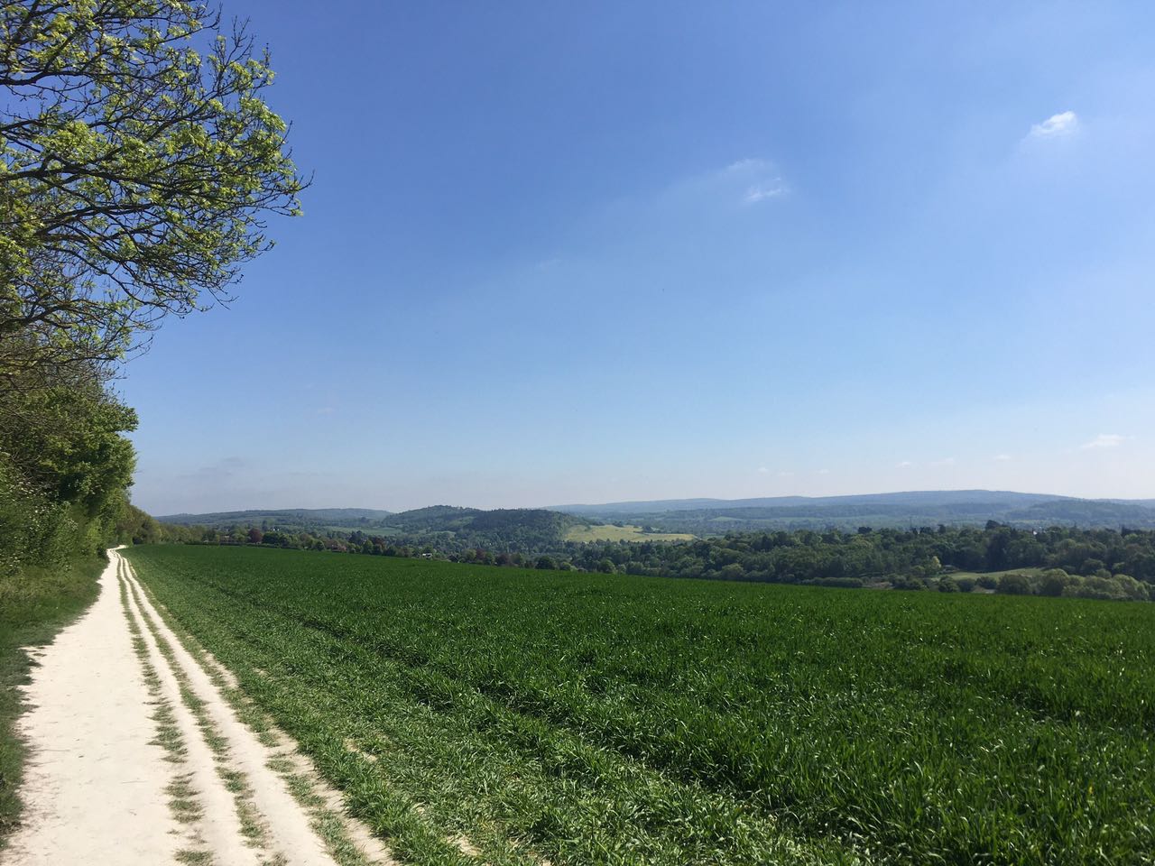
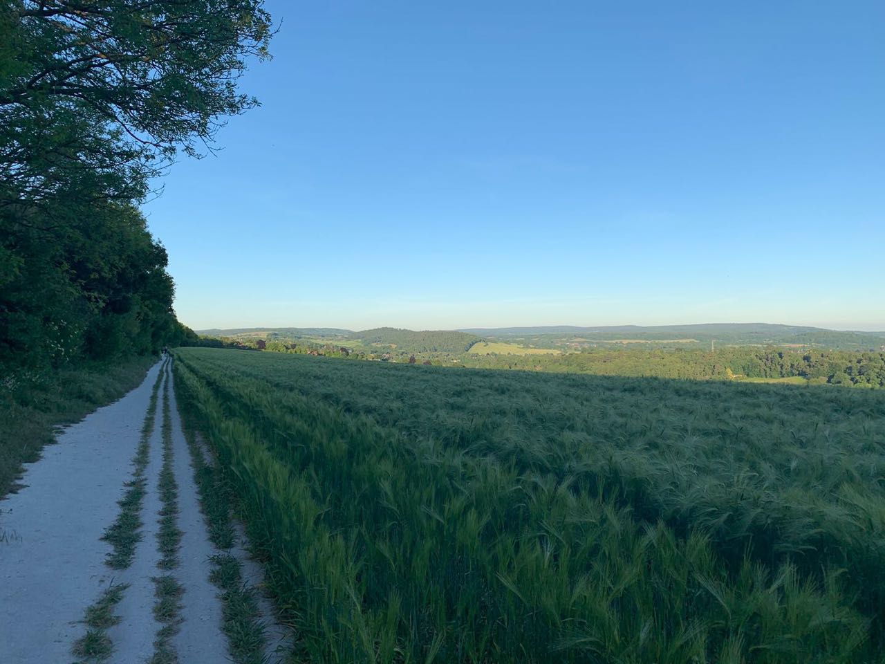
North Downs 林间小道
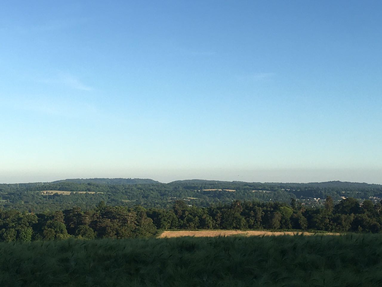
沿着丘脊有一条林中小径North Downs Path横贯The Mount Park,环境非常静谧和优美。在这里可以徒步与骑行, 喜欢骑行的人在这里可以享受到略微颠簸不平的山地感。穿过树丛到达另一侧,你会看到一副和吉尔福德城镇方向截然不同的画面,犹如优美的田园油画般,农田、洛斯利Losely庄园里的乡间别墅、起起伏伏的小丘、牧场、林地等,巧妙地编制构建在一起。在这里你会发现不少的麦田,由于采取轮耕制,田垄的边界清晰可见。旱地小麦的栽种在英国十分罕见,众所周知,英国气候潮湿多雨,夏天温度不够,而且土地狭小,种植业产量很低,所以在市场上根本竞争不过外来进口小麦,所以英国在上世纪初就基本抛弃了种植业,米面主食和蔬菜水果等大量从国外井口。到如今,英国的农业主要背靠乳畜业,出产肉蛋奶等产品。
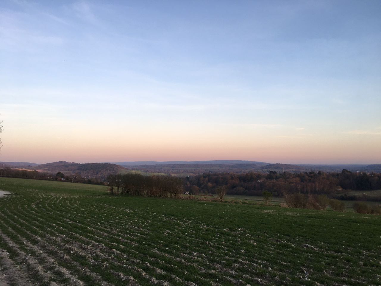
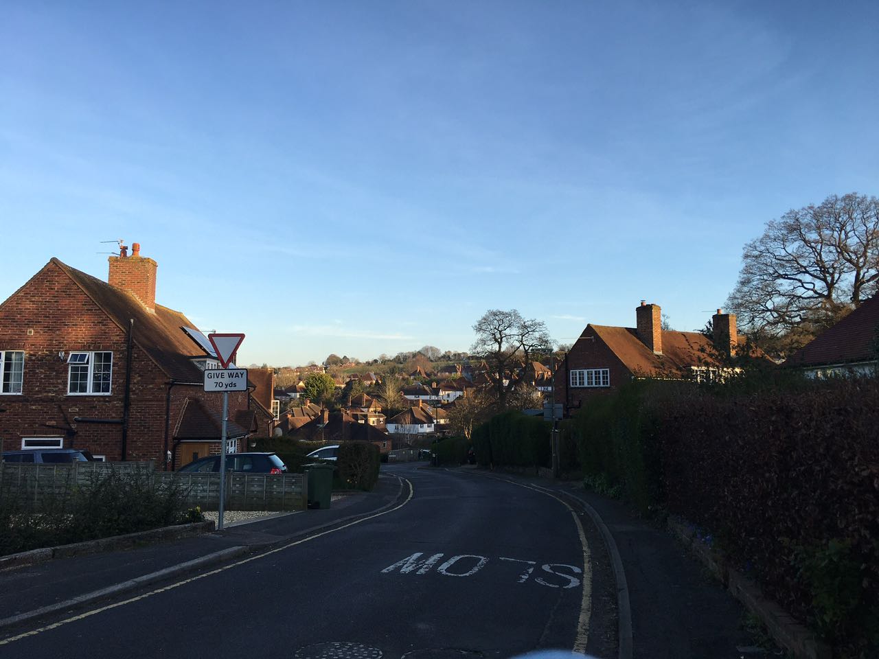
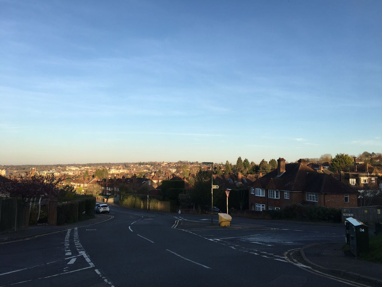
在人烟稀少的这一侧,是真正的吉尔福德乡村风景,从这里可以俯瞰附近的萨里村庄,包括阿丁顿Artington和康普顿Compton。
A).阿丁顿Artington
根据Google Maps的指示,可以择路徒步穿过The Mount另一侧的乡村。这里的野路比较多,而且没有路灯等设施来照明,所以我不建议你在天色阴暗或日落时分从这里经过。但是,一旦进入Artington,你就会发现很多装饰精致的房屋,马厩,农场和周围的自然风光。在春天时分去去,三月份你会看到很多盛开的油菜花田,四五月可以看到更多盛开的鲜花。
B). 洛斯利Losely庄园
如果下坡走得更远,你会来到洛斯利庄园Loseley Park。其中包括庄园,罗马风格花园和公园场地。如果你想了解更多关于洛斯利庄园的细节,请看下探索萨里这个系列之前的博客吧。
North Downs Wood Path
But, there’s more! If you go to the other side of the hill, there is a gate which leads you to another slope of the hill. This overlooks the Sports Park and the West side of Guildford.
Along the hill ridge, there is a forest path North Downs Path traversing The Mount Park, the environment is absolutely very quiet and beautiful. Here you can do hiking and cycling, especially for those who like to ride can enjoy a slightly bumpy mountain feel. Passing through the trees to the other side, you will see a picture that is very different from the direction of Guildford town, like a beautiful pastoral oil painting, farmland, the countryside cottage in Losley Manor, rolling hills, pastures, woodlands, etc., are delicately organized together. Here you will find a lot of wheat fields. Due to the rotation cultivation, the boundaries of the fields are clearly visible. The cultivation of dryland wheat is actually very rare in the United Kingdom. It is well known that the climate in the United Kingdom is humid and rainy, the temperature in summer is high not enough which fails to enable the necessary heat for the growth of wheat. Other than this, the arable land is fairly small in UK, and the output of the planting industry is therefore very low. So very reasonably, there’s nowhere that local produce can compete against the foreign imports in the market, so the United Kingdom basically abandoned it at the beginning of the last century In addition to the cultivation industry, rice noodle staple food, vegetables and fruits, etc. came from wellheads abroad. Up to now, Britain’s agriculture mainly depends on the dairy industry, producing meat, egg, milk, and other products.
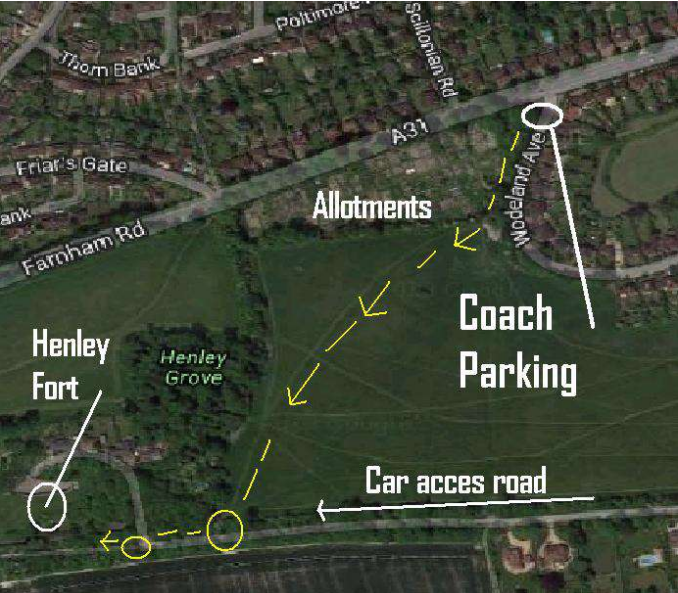
SOLD- Surrey Outdoor Learning & Development. Henley Fort Directions for access via coach.
From: https://www.surreyoutdoorlearning.uk/__data/assets/pdf_file/0006/50658/Henley-Fort-directions-for-coaches-park-and-walk.pdf
A). Artington
Google Maps can lead you to this charming village along various paths by literally walking through the fields of the countryside of the other side of The Mount. I would not recommend walking to Artington past sunset through this means, as there are no street lamps or pavements to guide you. However, once you get into Artington, you’ll discover plenty of cute houses, horses, farms, and nature. The people are also very friendly. If you happen to go during Springtime, which I did, you’ll see fields of blossoming flowers.
B). Loseley Park
If you go further down the slope, you will come to Loseley Park. These include manor houses, Roman-style gardens and park fields. If you want more details about Losely Park, please look up the previous blog in this series.